News - Magnitude 3.9 earthquake shakes north of Kars, Turkey
Business Strategy
Magnitude 3.9 earthquake shakes north of Kars, Turkey
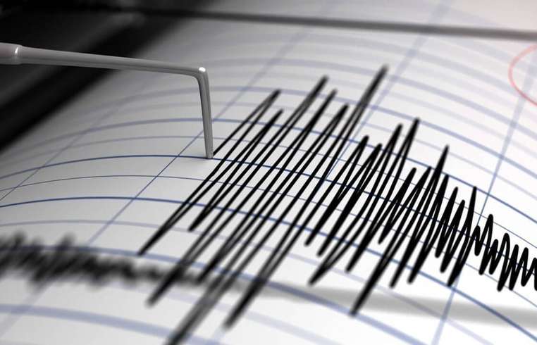
On April 28, an earthquake with a magnitude of 3.9 was detected 43 kilometers north of Kars, Turkey. The occurrence was part of a broader seismic event recorded at 40.98°N latitude and 43.10°E longitude, with a focal depth of 10 kilometers. This tremor was registered by the Armenian National Seismic Protection Service, which monitors activities in the region. The seismic intensity of the earthquake was noted to be level 5 in the epicentral zone, an intensity that signifies moderate shaking with a potential to cause light damage. Due to the geological composition and relative proximity, the shockwaves were perceptible across various regions in Armenia, especially in the Shirak province. Communities such as Gyumri, Amasia, Zarishat, Vahramaberd, and Marmashen reported experiencing the tremor at a reduced intensity of levels 2 to 3 on the seismic scale. This seismic activity serves as a recent reminder of the area's geological volatility, situated near active fault lines that periodically generate such events. The local authorities and emergency services continue to monitor the situation to ensure the readiness and safety of the residents. Measures are in place to address any structural vulnerabilities or aftershocks that might arise in the aftermath of this tremor, safeguarding both infrastructure and human life against potential seismic threats.
About usyoo

Categories
Tags